Services
From the Real World to the Digital World...
Virtual Reality (VR) Projects
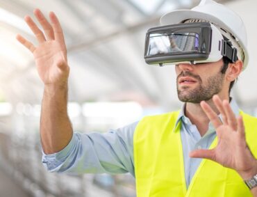
In this period when technology has expanded its boundaries, it has now become possible to visit your projects with three-dimensional panoramic images without going to the field.
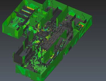
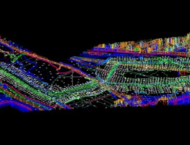
Reverse Engineering With Laser Scanning Technology
Reverse engineering is the process of understanding and analyzing in detail the physical structure and working principles of an object or mechanism.
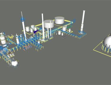
Solid Model and LOD 400 Level BIM Production
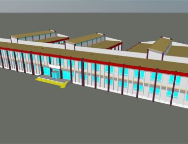
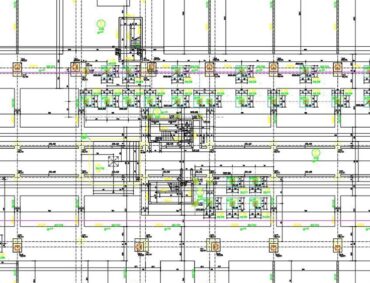
Building Information Modeling (BIM) is a method that allows the management of project data in digital environment by incorporating different tools and processes into the design.
3D Survey and Architectural Survey From Solid Models
Surveying is the three-dimensional modeling work carried out to take the archive of the building in question in order to restore historical buildings.
All Kinds Of Analysis and Calculations Using Big Data
Big data is data that contains more diversity and is increasing in volume rapidly. Three main characteristics of big data are explained by the concept of 3V. 3V stands for; variety, velocity and volume.
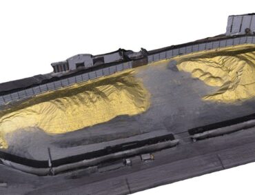
Measurement and Analysis Of Stock Fields By Photogrammetric Methods
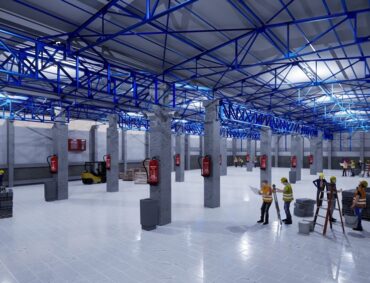
It is the work done with advanced photogrammetric methods to measure and analyze in warehouses and stock areas where the entire surface area is visible.
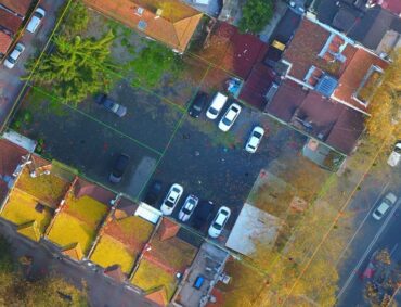
Photogrammetric Map Production (UAV)
Near Photogrammetry is a method that is carried out by modifying unmanned aerial vehicles for cartography studies.
Monitoring Measurement and Analysis
Monitoring measurement and analysis is the measurement of horizontal and vertical movements of structures for various reasons.
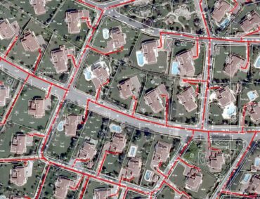
Digital Topographic Map Production
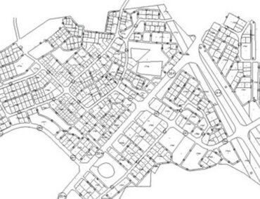
A digital map is the measurement of the topography of the earth and all kinds of human-made structures within the framework of regulations and showing them on paper.
Survey Engineering and Consultancy Services For All Kinds Of Buildings
Survey engineering, consultancy in all your construction activities we offer consulting services.
Zoning Applications and Expropriation Plans
We are also with you in the works of zoning applications and expropriation plans.
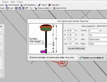
Bathymetric Map Production
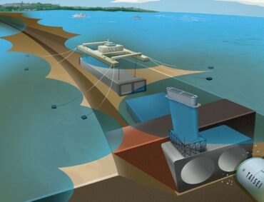
A bathymetric base map is the making of topographic measurements by measuring the depths of water, sea, lake and ocean floors and showing them on paper.
Infrastructure and Pipeline Plans
We are at your service for the preparation of waste water, rain water and drinking water lines and end-of-work projects.
ÖLÇEK MÜHENDİSLİK’S
SIGNED PROJECTS
You can review our ongoing and completed projects of national and international nature.
