Photogrammetric
Map Production (UAV)

LET'S WORK TOGETHER

You can reach us by phone, on our website or via our e-mail address.

Photogrammetric Map Production (UAV)

Near Photogrammetry is a method that is carried out by modifying unmanned aerial vehicles for cartography studies.

It enables the mapping of large areas in a short time.

Depending on the selected flight altitude and the resolution of the camera used, a sensitivity in the range of 1.00 cm – 2.00 cm can be achieved.

The system, which also allows 3D modeling of the project sites, offers an innovative presentation opportunity visually.

Why Choose Us?

You have more than one reason to choose Ölçek Mühendislik, which is trusted by the world’s leading organizations and delivered their most important projects.

For all projects under our commitment, we offer the most accurate solutions in the fastest way possible, within the framework of our large working groups, sufficient number of equipment and dynamic business understanding.

Without compromising our understanding of quality service, we embrace all the projects under our commitment and continue to achieve successful works with our experienced and dynamic team.

We carefully calculate the cost analysis of each project to be realized and offer the best solutions with our strong staff, state-of-the-art equipment and competitive budgets in the market conditions of the globalizing world.

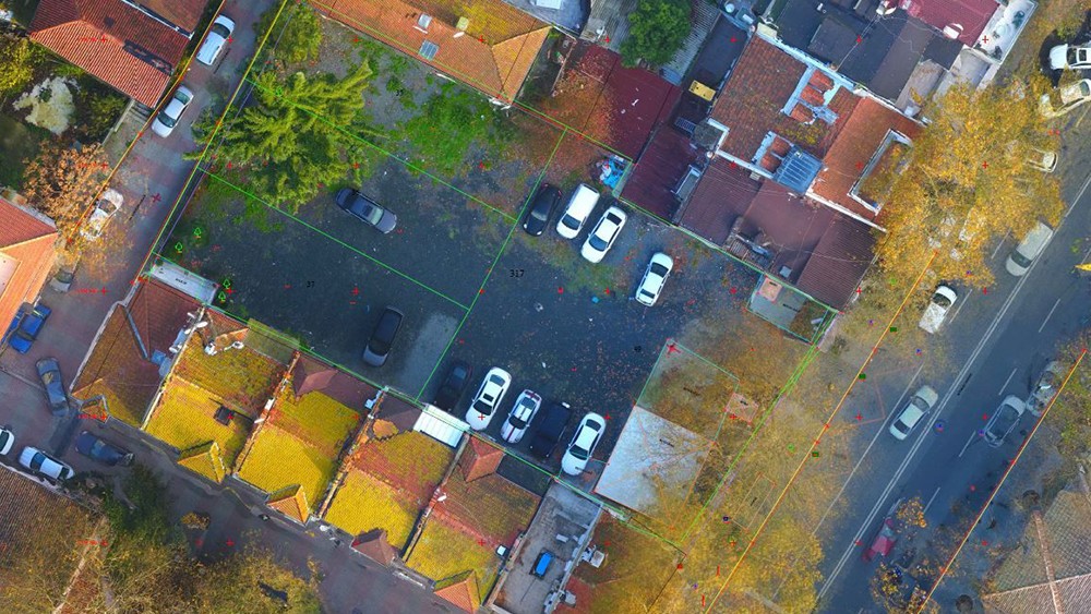
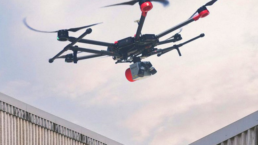
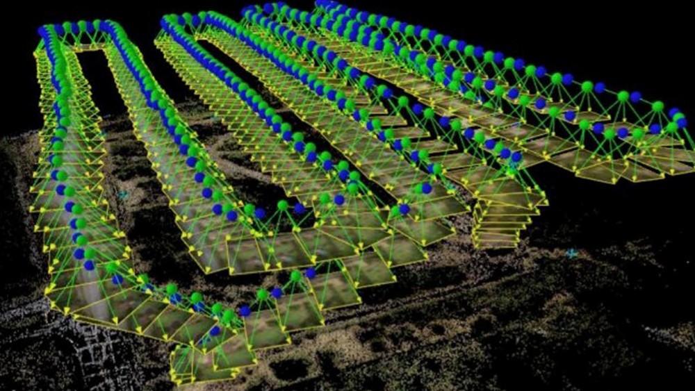
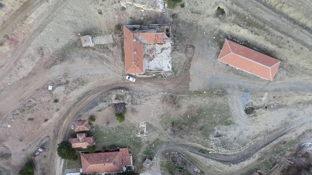
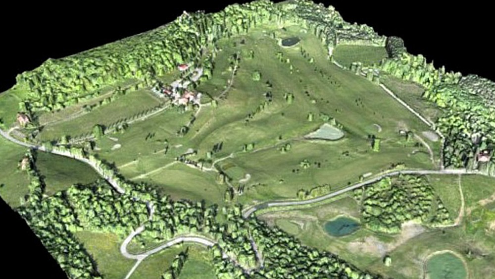
In order to produce faster and more reliable solutions for our business partners, we follow the requirements of the era, provide our team with up-to-date training, and offer comprehensible services with improved visuality with different solutions of different software, without being dependent on a single drawing software.