Bathymetric Map Production
SERVICES
- Virtual Reality (VR) Projects
- Reverse Engineering With Laser Scanning Technology
- Solid Model and LOD 400 Level BIM Production
- 3D Survey and Architectural Survey From Solid Models
- All Kinds Of Analysis and Calculations Using Big Data
- Measurement and Analysis Of Stock Fields By Photogrammetric Methods
- Photogrammetric Map Production (UAV)
- Monitoring Measurement and Analysis
- Digital Topographic Map Production
- Survey Engineering and Consultancy Services For All Kinds Of Buildings
- Zoning Applications and Expropriation Plans
- Bathymetric Map Production
- Infrastructure and Pipeline Plans
LET'S WORK TOGETHER
You can reach us by phone, on our website or via our e-mail address.
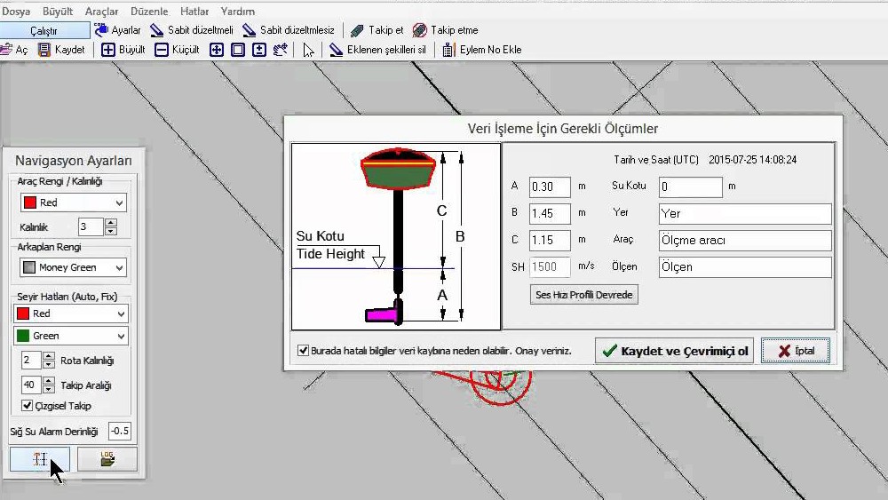
Bathymetric Map Production
A bathymetric base map is the making of topographic measurements by measuring the depths of water, sea, lake and ocean floors and showing them on paper.
– Seafloor Measurement
– Seabed Cuban Calculations
– Sediment Measurements
– Port and Coastal Edge Measurements
– Lake and Offshore Measurements
– Current Velocity Measurement
Why Choose Us?
You have more than one reason to choose Ölçek Mühendislik, which is trusted by the world’s leading organizations and delivered their most important projects.
For all projects under our commitment, we offer the most accurate solutions in the fastest way possible, within the framework of our large working groups, sufficient number of equipment and dynamic business understanding.
Without compromising our understanding of quality service, we embrace all the projects under our commitment and continue to achieve successful works with our experienced and dynamic team.
We carefully calculate the cost analysis of each project to be realized and offer the best solutions with our strong staff, state-of-the-art equipment and competitive budgets in the market conditions of the globalizing world.
In order to produce faster and more reliable solutions for our business partners, we follow the requirements of the era, provide our team with up-to-date training, and offer comprehensible services with improved visuality with different solutions of different software, without being dependent on a single drawing software.