


Industrial facilities are dynamic environments that constantly evolve and undergo operational updates. So, when the accurate engineering data gathered on day one isn’t updated alongside physical changes on site, how long can it truly remain reliable?
3D laser scans and digital models created during initial facility commissioning can quickly become outdated as revisions, modifications, and maintenance work take place. If site changes aren’t reflected in your data, you are taking significant operational risks.
At Ölçek Mühendislik, our advanced geospatial solutions ensure your engineering data is not only generated with high accuracy, but also kept updated and reliable throughout your facility’s entire lifecycle.
How We Protect Your Data’s Lifecycle
- Change Is the Only Constant
Every piping modification, line update, or structural adjustment made on site gradually invalidates your existing 3D models. Relying on outdated data inevitably leads to incorrect engineering decisions, costly downtime, and safety risks.
- Change Detection Technology
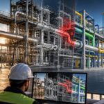
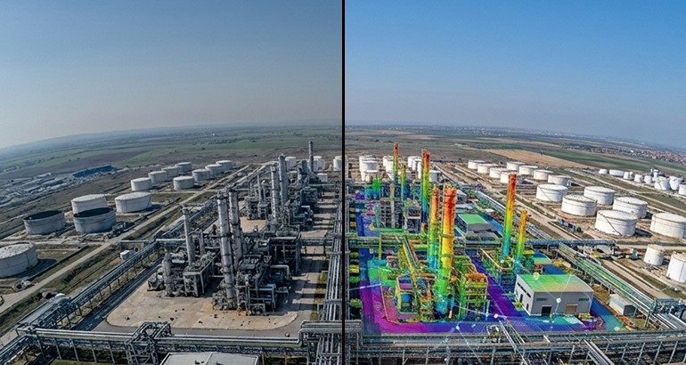
Through periodic 3D scanning, we digitally overlay baseline facility models with current site conditions. Every modified, removed, or added component is identified with millimeter-level precision.
- Dynamic Versioning and Lifecycle Management
We don’t treat 3D models as one-time static deliverables. Instead, we transform your models into a living, versioned, and continuously updated Digital Twin framework that supports the facility throughout its entire operational life.
- Ready and Always Reliable
Discover Ölçek Mühendislik’s end-to-end geospatial solutions to keep your facility’s digital memory active, minimize operational risks, and drive future investment decisions with reliable data.
To keep your facility’s digital twin up-to-date and learn more about our geospatial solutions, contact our team today.