


In industrial facilities, not every change is visible to the naked eye. Deformations occurring in steel structures, settlements in equipment foundations, or shifts in critical structural elements can develop gradually over time.
To evaluate these changes meaningfully from an engineering perspective, it is not enough to simply measure the current geometry; measurements captured at different points in time must be fully comparable.
3D Laser Scanning and Geospatial Monitoring
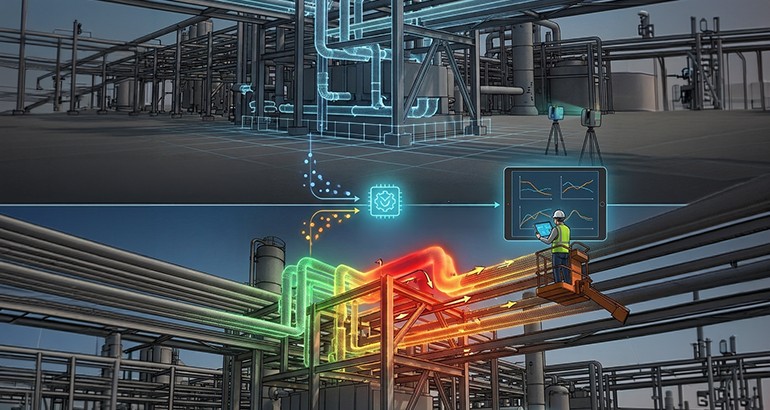
3D laser scanning and geospatial measurement technologies enable the analysis of geometric changes in the physical environment through periodic, high-precision scans.
However, there is a critical engineering nuance here: Simply comparing point clouds captured on two different dates does not automatically constitute a reliable deformation analysis.
Core Conditions for Reliable Deformation Analysis
For a robust time-series analysis, the following conditions must be met:
- Evaluating measurements within a common and stable reference system,
- Mathematically accurate point cloud alignment and registration,
- Accounting for measurement uncertainties and environmental variables,
- Interpreting identified differences strictly within engineering tolerances.
When these conditions are met, temporal 3D datasets support the identification of structural deformations, tracking of positional variations in equipment, evaluation of trend behaviors, and the precise planning of maintenance and advanced engineering inspections.
The Ölçek Mühendislik Approach
At Ölçek Mühendislik, we treat geospatial data not merely as a static digital snapshot of a physical environment at a given moment, but as a dynamic engineering resource that—backed by rigorous measurement and analysis workflows—helps decode change over time.
Because the true value of reliable engineering data lies not only in how accurately it reflects today, but in how reliably it compares yesterday with today.